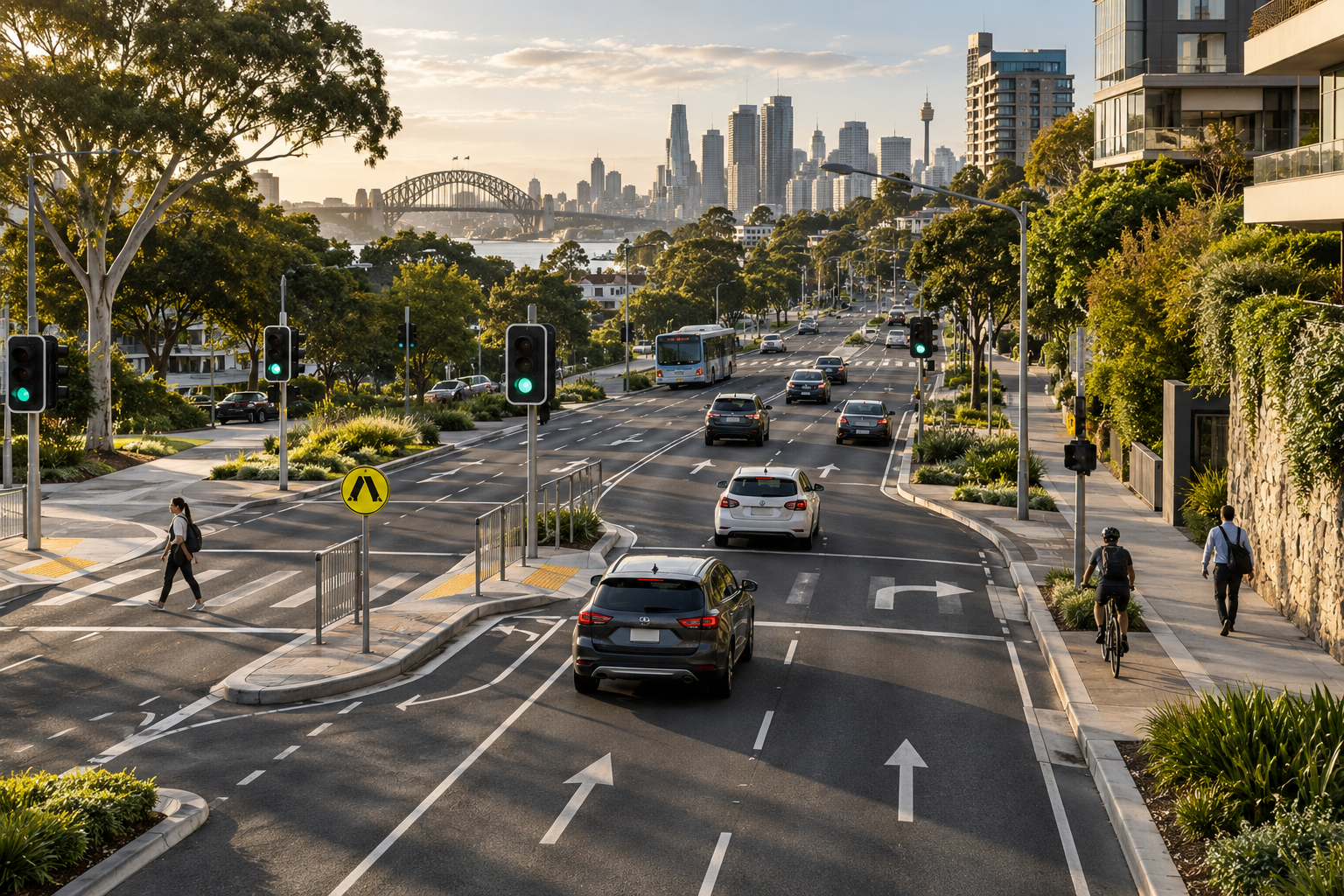
MAPS + LOCATION
Maps and location awareness
A map helps people understand their position and relevant nearby information. Permissions and GPS reading quality affect what can be displayed.
Explore this capability ↗Traffic safety technology
Indexial is developing traffic safety and road awareness technology that brings maps, location information, GPS based speed display and relevant alerts into a clear mobile experience.
The Traffic Safety direction
Maps, a current location and relevant records can help people understand what is nearby. Position quality, record freshness and available coverage all affect that experience.
Our focus is making useful information easier to understand, including when location readings or source records are unavailable or uncertain.
Road awareness begins here
Explore the concepts behind Traffic Safety: location awareness, understandable information and mobile experiences that communicate their limits.
 01 / MOBILE PRODUCT
Maps, location information, GPS based speed display and relevant alerts are part of the product direction.
Explore Traffic Safety ↗02 / ROAD INFORMATIONMap markers connect relevant location records to the journey, subject to data quality and coverage.
Explore road information ↗Permissions, missing GPS readings and unavailable services need clear interface states.
Our user focus ↗What supports awareness
Traffic Safety connects a mobile experience to the quality of its location reading, speed information, road records and alert timing.
A map helps people understand their position and relevant nearby information. Permissions and GPS reading quality affect what can be displayed.
Explore this capability ↗The Traffic Safety journey
The user grants location permission, the application obtains a position and the map displays relevant records. Proximity alerts provide additional awareness when appropriate.
Choose location access so the application can obtain a position.
Use the available GPS reading to show location and measured speed.
Display relevant map records and provide appropriate proximity alerts.
Traffic Safety / Mobile experience
The Traffic Safety product direction includes maps, GPS tracking, measured speed, camera markers and proximity audio alerts. Estimated road speed information is not a verified posted speed limit.
Indexial in practice
Know where records come from, their coverage and when they were last maintained.
Assess coordinates, available GPS readings and the permissions needed for the experience.
Consider alert timing, repetition and inaccurate position readings.
Explain unavailable services, stale records and uncertain or estimated information.
Road awareness technology
Traffic Safety focuses on helping people understand location based road information through practical maps, context and alerts.
Perspectives
Location / PerspectiveExplain what is unavailable so the user can understand the experience.
Explore the idea ↗ Road data / PerspectiveRecords need source context, coordinate checks and identifiable versions.
Explore the idea ↗ Speed / PerspectiveAn estimate must never be presented as a verified posted speed limit.
Explore the idea ↗People and usability
We focus on people who want clearer road awareness, with understandable permissions, location states and limits on the information shown.
Explore the user focus ↗Start a conversation
Ask about the product direction, current access, available coverage, information sources or a possible technology partnership.