Be clear about sources
Explain where information comes from, its coverage and its freshness.
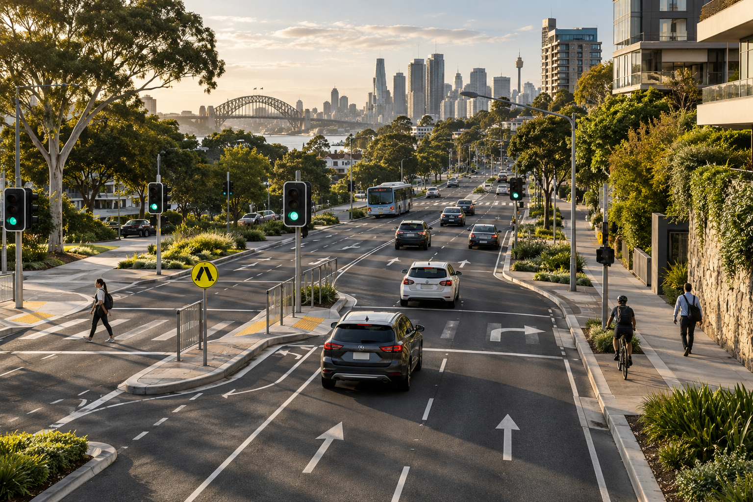
Indexial is developing traffic safety technology to make maps, location information, GPS based speed display and relevant alerts easier to understand.
Our position
Indexial’s product direction brings relevant road information into a clear mobile experience. Camera information is one component of the broader Traffic Safety identity.
A useful interface also needs to communicate uncertainty, unavailable information and the limits of the source records.

Our point of view
Location permissions, GPS quality, mapping availability and record freshness all affect what a mobile road awareness experience can display.
See how we work ↗Practical standards for maps, records, alerts and understandable interface states.
Explain where information comes from, its coverage and its freshness.
Handle inaccurate or missing readings with understandable states.
GPS measured speed and estimated road speed information are different. Estimates are not verified posted limits.
Consider timing, unnecessary repetition and the quality of the current position.
For people who want clearer road awareness and location based information.
Possible partner audiences include organisations interested in mapping data, road information services and relevant technology collaboration.
Current access options, geographical coverage and released features can be confirmed through an enquiry.